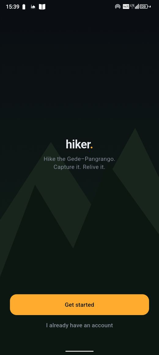
hiker.

Record the trail. Relive the mountain.

Version 0.8.0 · July 2026

What hiker. does

🗺️

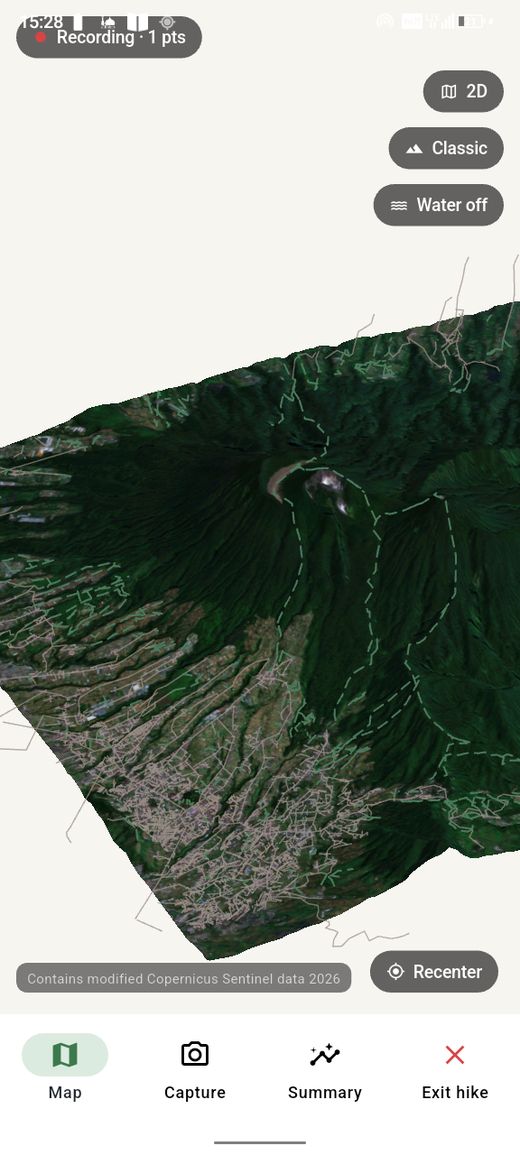
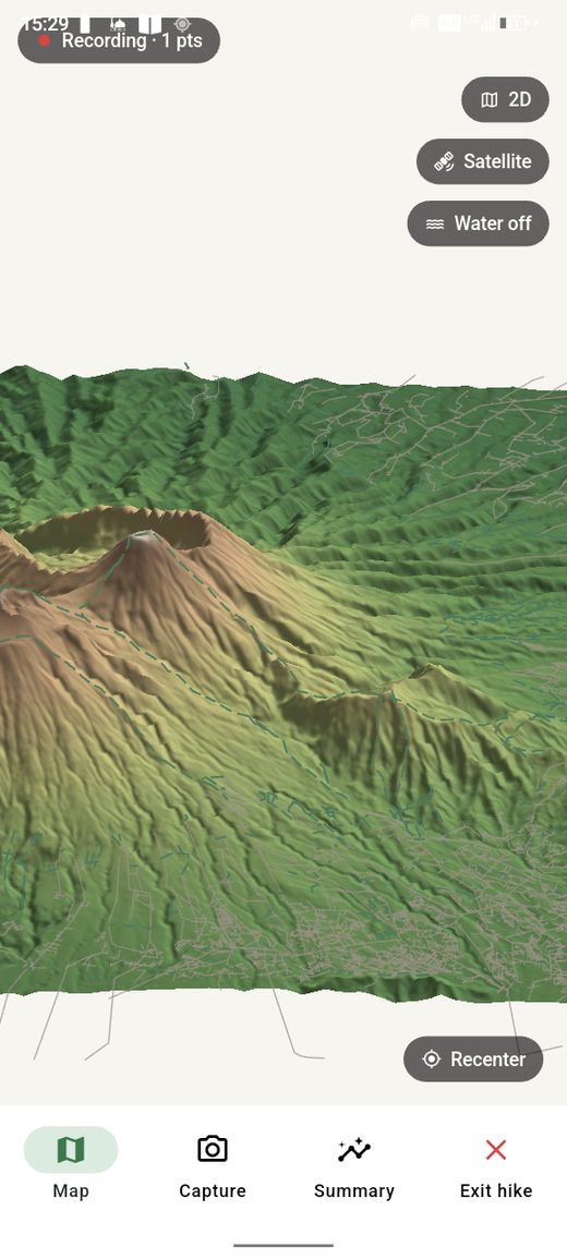
Offline 3D terrain map

See the mountain before you climb it. Bundled DEM + satellite imagery for Gede–Pangrango, works with no signal.

📍

GPS trail recording

Every GPS point saved as it arrives. Screen off, still tracking. Crash recovery on relaunch.

📷

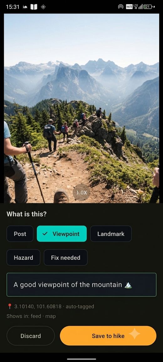
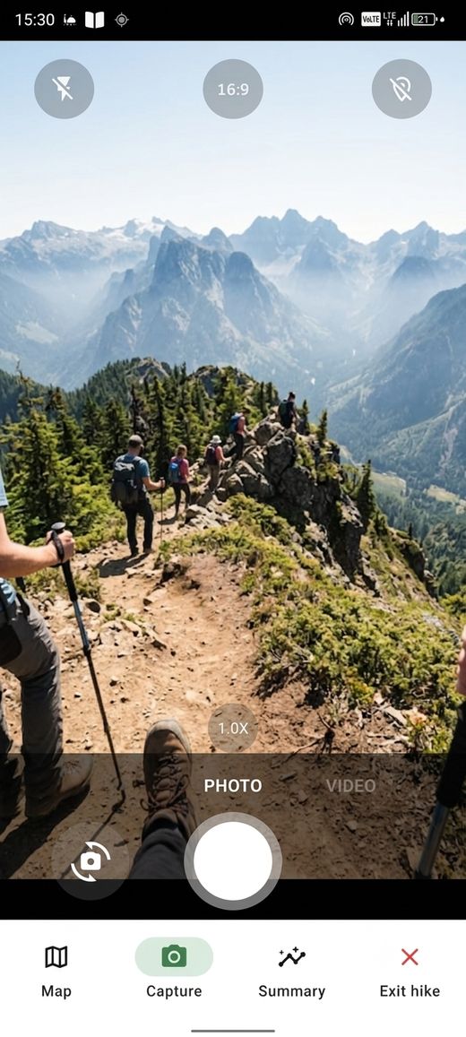
Geotagged captures

Photos and clips pinned to your trail. Native compression, provenance-signed.

🎬

Cinematic recap

Your hike auto-edited into a short film with 3D flyover, music, and stats.

🔔

Push notifications

Get notified about updates and announcements. Tap to install or open a link.

🔒

Phone-verified, no passwords

Sign in with your phone number. Firebase PNV or SMS OTP. No passwords, no demographics.

See it in action

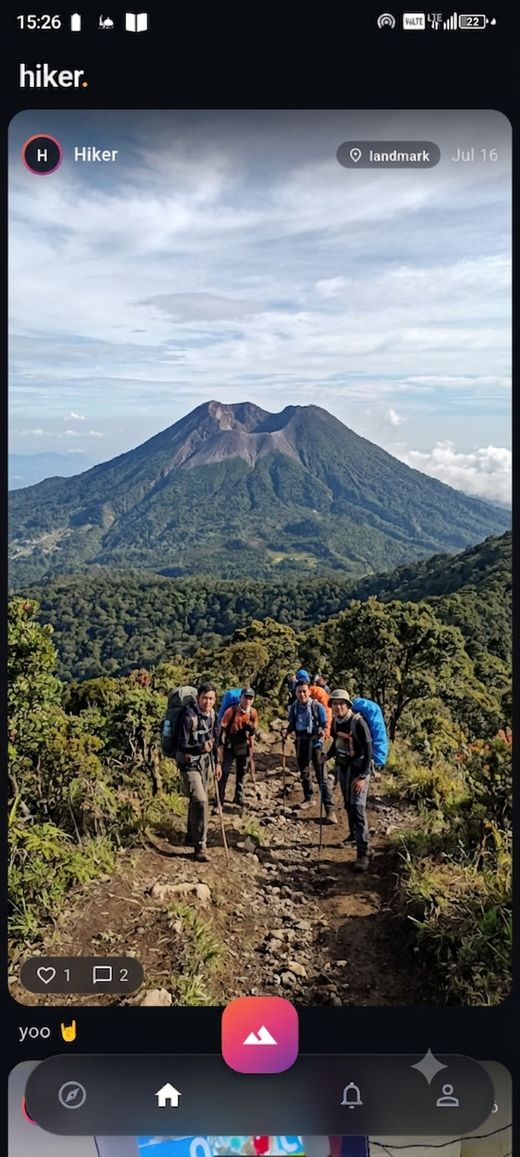
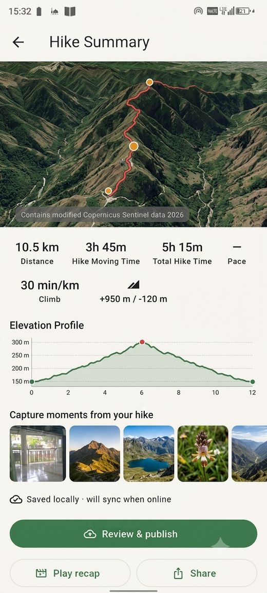
Home feed Live tracking 3D terrain map Capture Post hike summary Cinematic recap Explore Area hub

How to install

  1. Download the APK that matches your device. Most phones are 64-bit (arm64-v8a). Older Android Go devices (like the Infinix) use 32-bit (armeabi-v7a).
  2. Open the downloaded file. Android may warn "For your security, your phone is not allowed to install unknown apps." Tap Settings → enable Allow from this source.
  3. Install — tap Install and wait for it to finish.
  4. Open hiker. and sign in with your phone number.
Not sure which APK? Try the 64-bit one first. If it says "not compatible," download the 32-bit version instead.

What's new

0.8.0
July 2026 · Launch test build
  • Satellite terrain skin with Sentinel-2 true-colour imagery
  • Classic/Satellite skin toggle on the 3D hike map
  • Push notifications for updates and announcements
  • Firebase Phone Number Verification (faster sign-in)
  • 3D terrain as the default hike map with 2D toggle
  • Cinematic recap with 3D flyover and music
  • Offline vector tiles + DEM for Gede–Pangrango

Found a bug? Have feedback?

This is a test build — your feedback shapes the app.

Send feedback